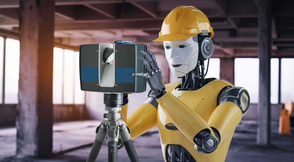
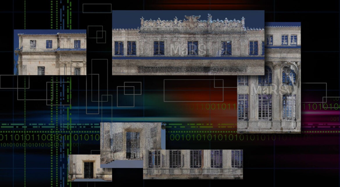
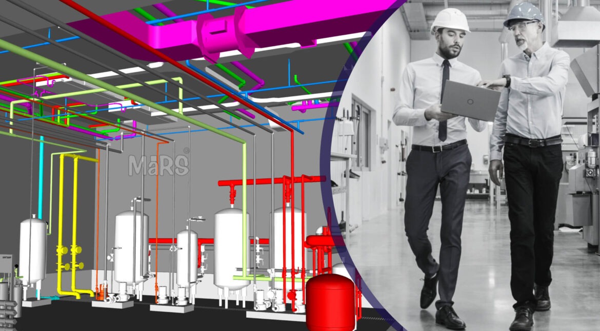
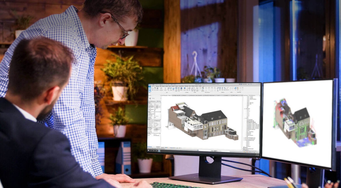
An accurate and efficient way of incorporating existing buildings into digital workflows is by using Scan-to-BIM, which represents the generation of BIM models from 3D laser scans. Historically, Scan-to-BIM struggled hard to ensure a high level of accuracy and details in an efficient manner. This is being changed by Artificial…
The management of underground utilities, which is a complex maze of pipes, cables and conduits, has always been a major impediment to construction and infrastructure projects. This typically also leads to expensive delays due to wrong or incomplete records, and dangerous hits on utility lines among others. Scan-to-BIM technology has…
Discover efficient file transfer techniques for architectural workflows, comparing cloud storage and FTP server sharing. Learn about their pros and cons.
Learn how geospatial engineering services are changing cities into smart, efficient, and sustainable hubs of the future.
Discover how geospatial engineering services might benefit construction companies. With the help of geographic information systems, make better decisions, streamline processes, and increase productivity.
With an ever-changing technological world, 3D scanning has developed as an important tool for capturing things and real-world surroundings with unprecedented accuracy. It is particularly important in domains such as industrial analysis, archeology, and digital entertainment; nonetheless, successful 3D modeling requires much more. However, scan quality is still an unattainable…
Utilizing BIM integration and laser scanning, learn about facility management. Discover the significance of Scan to BIM for effective building operations and maintenance.
Explore the complexities of Scan to BIM, its practicality, and broad implementation in the AEC industry.
Enhance your project workflow with Point Cloud to Revit modeling. Discover the advantages of quicker turnaround times and lower costs when digitizing and documenting building and infrastructure conditions.