Infrastructure BIM Services

MaRS BIM Solutions provides Architectural BIM Services in the USA for architects, builders, and owners. We deliver Revit Architecture Services, CAD drawings, BIM documentation, clash detection services, and construction documentation sets using advanced tools like Revit, AutoCAD, Navisworks, and 4D Synchro. Our expertise ensures accurate BIM building design projects with improved coordination and faster project delivery. 

BIM for Roads, Bridges, Rail, Utilities and Water Infrastructure

Infrastructure projects in the United States are getting larger, more regulated and more dependent on accurate digital coordination. A single missed clash between a stormwater line and a bridge abutment, or an inaccurate grading model on a highway widening project, can cost weeks of schedule and hundreds of thousands of dollars in rework. Infrastructure BIM services exist to catch these problems before they reach the field.

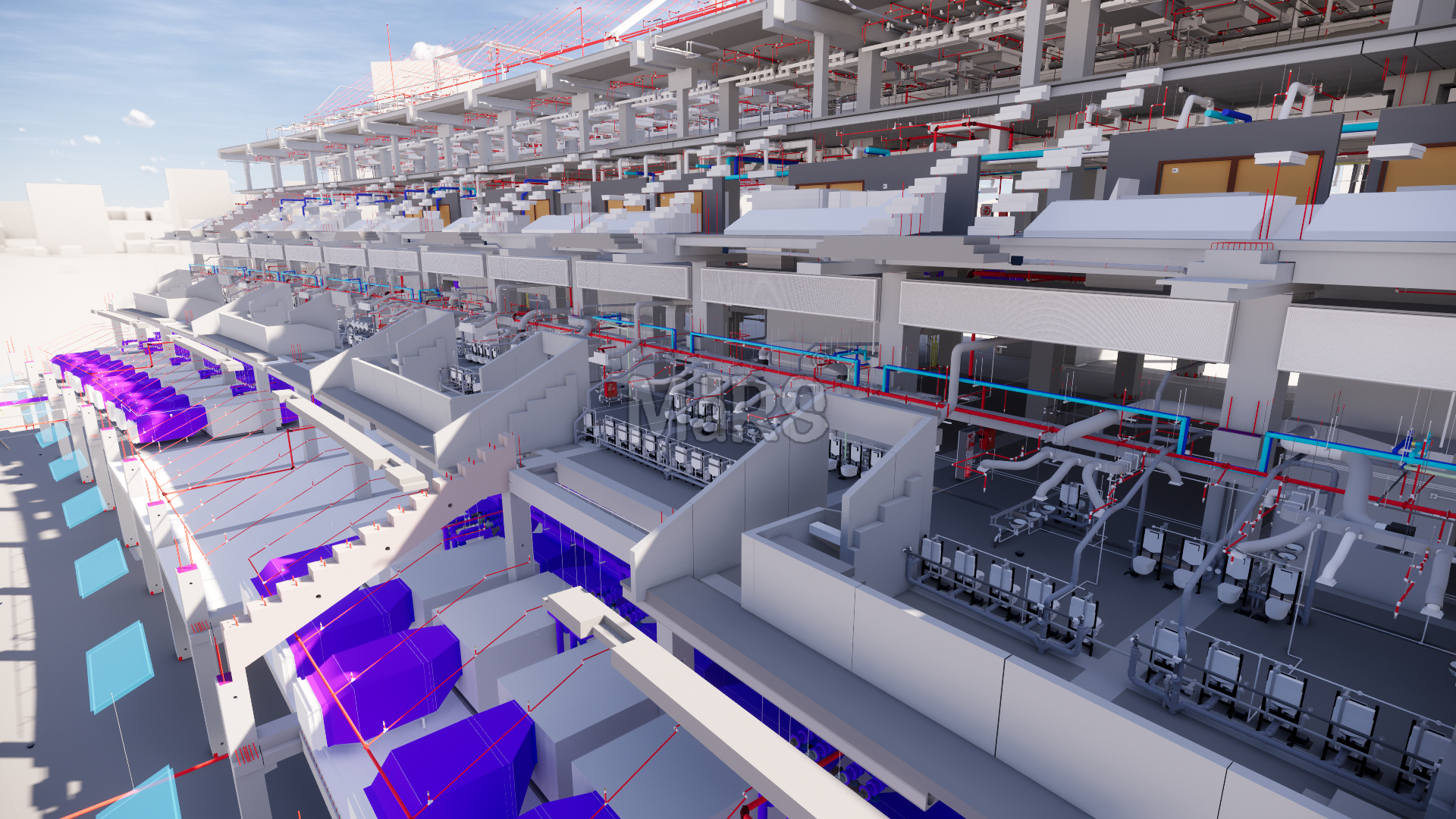
Our Infrastructure BIM Services group works with civil engineering firms, DOTs, EPC contractors, utility owners and AEC consultants to convert survey data, design drawings and point clouds into coordinated 3D models that support design validation, quantity takeoff, clash detection and construction sequencing. We build models that follow US CAD/BIM standards, including USACE, FHWA and state DOT CAD standards, so the deliverables integrate directly into your existing workflows without rework.

Why Infrastructure Projects Need BIM?

Vertical construction adopted BIM years ago. Infrastructure has followed a slower path because linear assets, existing utilities and topography add layers of complexity that buildings do not have. That complexity is exactly why infrastructure BIM delivers so much value once it is applied correctly.

A civil BIM model ties horizontal alignment, vertical profile, corridor geometry, utilities and structures into one coordinated dataset. Engineers can run clash detection between a proposed culvert and an existing gas main. Estimators can pull accurate quantities for earthwork, pavement and drainage straight from the model instead of manually measuring plan sheets. Contractors can extract data for machine control and 4D scheduling. Owners get an asset record that continues to pay off after construction closes out.

Our Infrastructure BIM Capabilities

Civil BIM Modeling

Covers corridor modeling, grading, site development and earthwork quantity development using tools such as Civil 3D, InfraWorks and OpenRoads.

Road & Highway BIM

Supports DOT and municipal roadway projects including widening, interchange design and pavement rehabilitation, built to FHWA and state DOT digital delivery requirements.

Bridge BIM

Delivers parametric bridge models, including substructure, superstructure and deck geometry, coordinated with roadway and utility models to eliminate design conflicts.

Rail & Metro BIM

Handles track alignment, station structures, signaling corridors and overhead systems for transit agencies and rail design consultants.

Underground Utilities BIM

Models existing and proposed utility networks using SUE data, GPR survey and record drawings to reduce dig-related conflicts.

Scan to BIM for Infrastructure

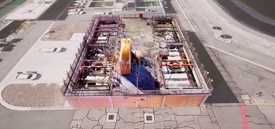
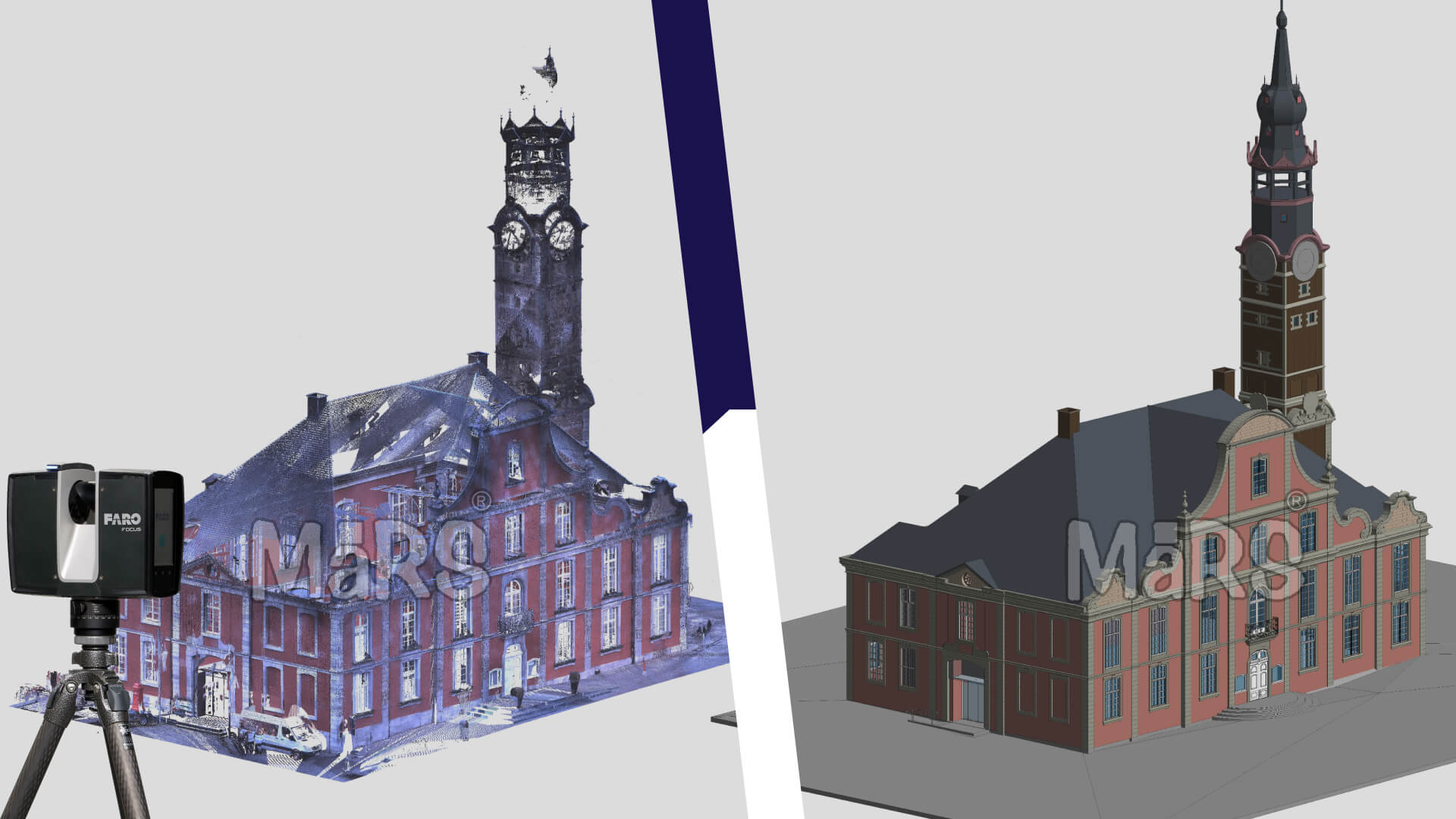
Converts laser scan and drone photogrammetry data into accurate as-built models for retrofit, rehabilitation and capacity studies.

Water Treatment Plant BIM

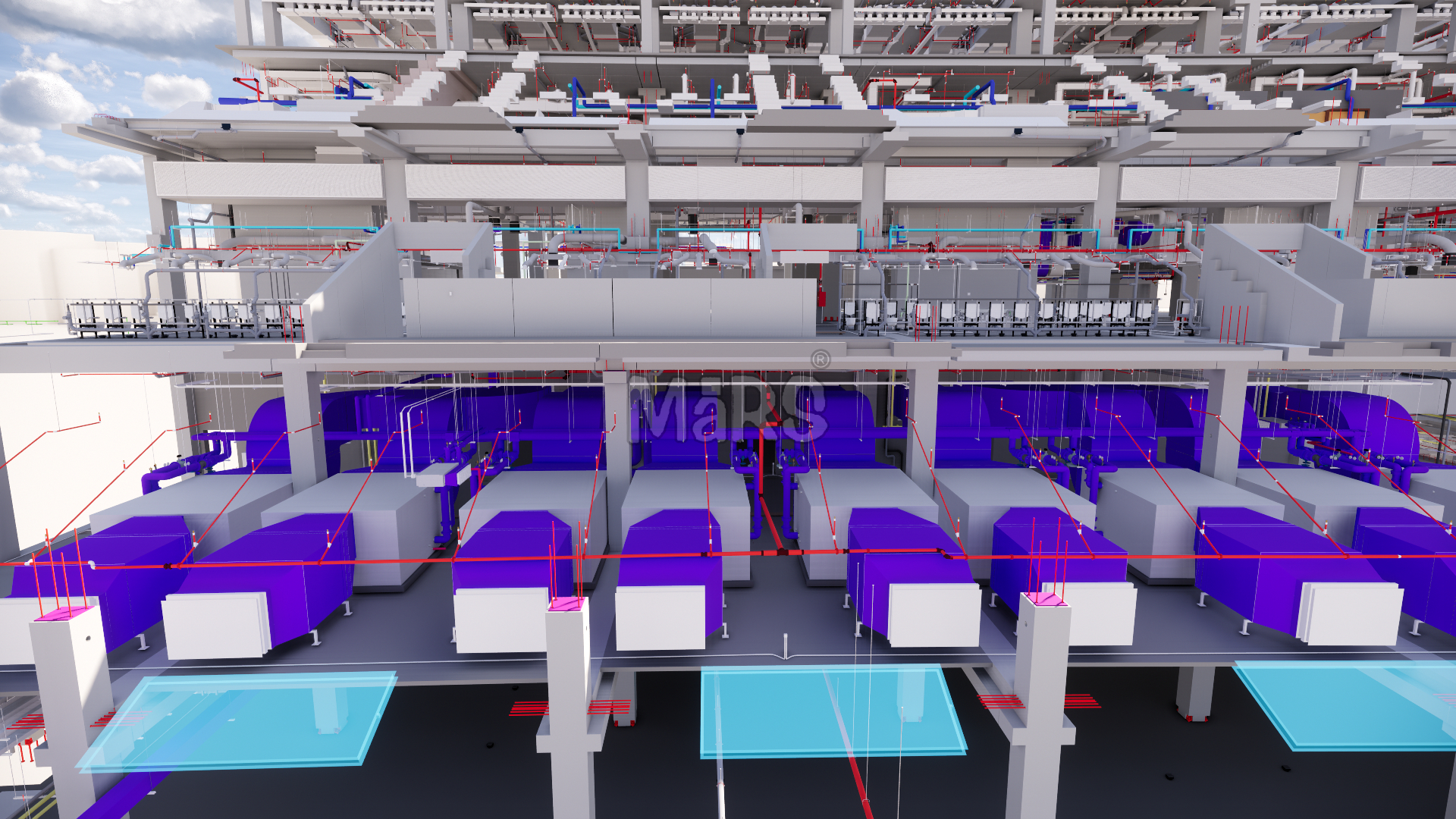
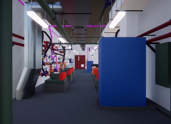
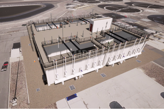
Covers process piping, structural and MEP coordination for treatment facilities, pump stations and pipeline systems.

Infrastructure Digital Twin

Development connects BIM models to sensor data, GIS and asset management platforms for ongoing operations and maintenance.

Utility BIM

Supports gas, electric, telecom and water utility providers with network modeling, relocation planning and joint trench coordination.

How We Work

Our production process is built around US project delivery standards rather than a generic modeling workflow.

We audit survey data, LiDAR, GPR reports, record drawings and design files for completeness before modeling starts, flagging gaps early rather than discovering them mid-project.

Every model is built to an agreed Level of Development, typically LOD 200 through LOD 400 depending on project phase, so deliverables match what your team actually needs at that stage.

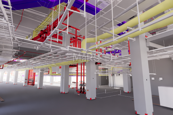
We run structural, MEP and utility clash checks using Navisworks and produce clash reports your design team can act on directly.

Models are checked against project-specific CAD/BIM standards and applicable NBIMS-US or agency-specific requirements before delivery.

Files are handed off in your required formats (Civil 3D, Revit, IFC, NWD) with model documentation, and our team stays available for revision cycles through construction.

Industries and Project Types We Support

State and county DOTs, municipal public works departments, water and wastewater utilities, transit authorities, private land developers, EPC firms and civil engineering consultancies rely on infrastructure BIM to move projects through design review faster and reduce field conflicts. We have supported roadway widening projects, bridge replacement programs, transit corridor expansions, treatment plant upgrades and utility relocation projects across multiple states.

Software and Standards We Use

Our modeling teams work in Civil 3D, InfraWorks, Revit, OpenRoads/OpenBridge, Navisworks, ReCap and Bentley ProjectWise, and we deliver against FHWA BIM for Infrastructure guidance, USACE CAD/BIM standards, state DOT CAD manuals and NBIMS-US where applicable. If your project has a specific BIM Execution Plan, we build to it rather than asking you to adapt to ours.

Start Your Infrastructure BIM Project

If your project involves roads, bridges, rail, utilities or water infrastructure, our team can review your existing data and scope a modeling plan that fits your delivery schedule. Contact us to discuss your project requirements and get a detailed proposal.

Frequently Asked Questions

Infrastructure BIM is used to design, coordinate and document civil and public works projects in 3D, including roads, bridges, rail corridors, utilities and water infrastructure. It supports clash detection, quantity takeoff, construction sequencing and long-term asset management.

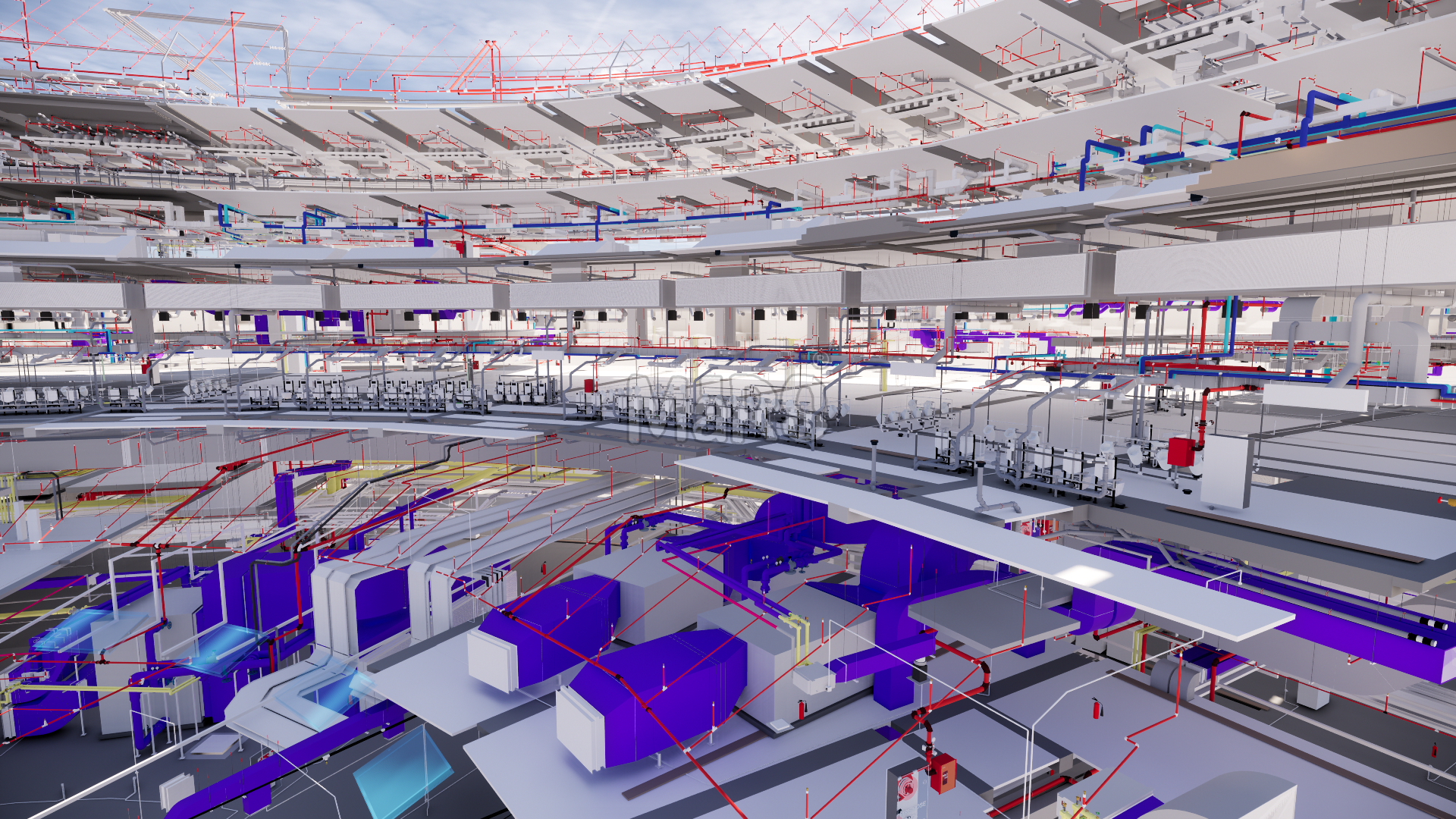
Infrastructure BIM deals with linear and geospatial assets tied to real-world coordinates, existing terrain and underground utilities, while building BIM typically works within a fixed site footprint. Infrastructure projects also rely more heavily on GIS integration and corridor-based modeling tools like Civil 3D and OpenRoads.

Most projects move through LOD 200 for concept design, LOD 300 for design development and LOD 350 to LOD 400 for construction documentation, depending on the project phase and client requirements.

Yes. We build models and deliverables to match state-specific DOT CAD and digital delivery standards, along with FHWA and USACE requirements where applicable.

Yes. We regularly convert 2D CAD drawings, PDFs and scanned plans into coordinated 3D BIM models for rehabilitation, retrofit and as-built documentation projects.

Get In Touch

Feel free to reach out to us for any inquiries or to discuss your project needs.

    20 +

    Years Experience

    850 +

    happy customer

    1800 +

    Projects Completed

    265 +

    Qualified Employees