Advanced remote sensing technologies utilized in the scan-to-BIM procedure include laser scanning and photogrammetry. They obtain detailed 3D measurements of the current condition of a facility, which are then processed to provide an as-built BIM. Decision-making and problem-solving in civil engineering are aided by this information. Verifications of quality assessments offer comprehensive data and an elaborate as-built model, enhancing the workflow’s proactive decision-making.

The Scan to BIM method is used for several things, including site validation, design validation, as-built drawing production, interference checks, MEP element demolition, documenting of building conditions, and budget estimation.
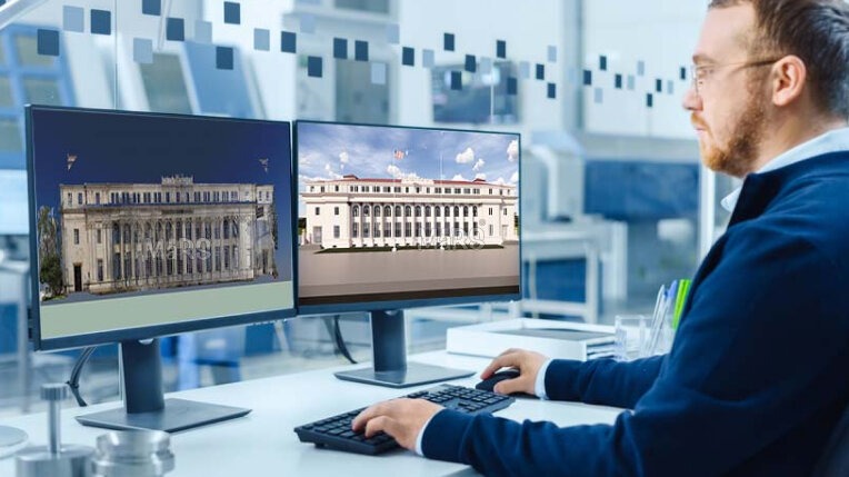
What are Point Cloud Scans?

Point clouds are three-dimensional data points produced by laser scanners or photogrammetry methods and used in construction to offer accurate representations of buildings. The geometry, dimensions, and spatial connections included in these clouds serve as the basis for the Scan to BIM procedure. Due to their vastness and complexity, working with point clouds can be difficult and calls for specialized tools and knowledge. Technology developments have improved this procedure’s usability and accessibility, enabling a larger usage in the construction sector.
The capture, process, BIM modeling, and quality assurance phases of the project’s four-phase process must be followed in line with the project workflow and the BIM Execution Plan for the project to be completed.

Point Cloud Scans to BIM Model Workflow
Typically, the Scan to BIM process involves data collection, data processing, BIM modeling, and quality assurance with as-built results. Listed below are the steps:
1. Data Collection
A point cloud of the scanned object or scenario is obtained by collecting data in the scan-to-BIM process. Usually generated through laser scanning and photogrammetry, these point clouds are 3D points with cartesian coordinates and characteristics. For 3D digital documenting of buildings, close-range photogrammetry and terrestrial laser scanning have made considerable advancements.

The scanner will use a tripod to take pictures of the building’s current state while using an eye-safe laser revolving quickly. The laser beam ensures high speed and accuracy in capturing the building’s conditions by recording its position as “points” in coordinates when it strikes a solid surface.
2. Data Processing
In the scan-to-BIM workflow, the raw point cloud goes through data registration, cleaning, and segmentation processes to be used for 3D modeling.

Validating survey data, checking for interruptions to fluidity, and clustering datasets are all steps in the process of recording a building’s as-built state. For many applications after registration, data alignment is vital, and human checks are necessary to prevent errors or overlapping. The initial configuration is essential to fully register and load the point cloud scan because it could appear cluttered or noisy.
3. BIM Modeling

To model a project, one must first create a Point Cloud scan of it. This process entails several phases, including verification, project information entry, file insertion in Revit, and file setup. Modeling component geometry, appointing object categories and characteristics, and creating relationships are all steps in the production of an as-built BIM. For successful teamwork in the construction business, software tool interoperability is essential.
According to the BIM Execution Plan, each element must be represented by a single, accurate Revit element, rather than by a generic model with extrusions. By slicing thin view angles in plan and section views, walls should fit the Point Cloud and be hosted at the appropriate levels for all elements.
4. Quality Assurance
Use the QC process procedures listed below to verify model quality:
- Check the model quickly using the visibility and override settings,
- Compare the delineated areas using the Plan, Section, or 3D view,
- Check for conflicts between the mechanical, electrical, and plumbing disciplines using Autodesk Navisworks.
Applications of Point Cloud to BIM workflow
The AEC business has seen a profound transformation as a result of 3D laser scanning, which rapidly and accurately measures 3D spatial data from surfaces, objects, and structures. Listed below are the applications of the same:
- Architecture: For 3D inspection, as-built model development, site inspection, site analysis, planning, and space optimization, scan to BIM is frequently used in the architecture sector.
- Heritage Conservation: When preserving cultural heritage, 3D laser scanners are used to reconstruct, restore, and conserve architectural environments.
- MEP Coordination: By comparing new equipment with as-built models to identify potential conflicts, this tool assists in early-stage clash simulation analysis for Architectural, structural & MEPF services. It also prevents rework and waste.
- Structural Analysis: 3D models created from laser scan data allow for early structural issue detection in design, allowing for early intervention and repairs, and saving time and money during construction.
Related blog:
Optimizing MEP Work Tracking With Scan To BIM
Conclusion
Building and infrastructure as-built models must be created using a scan-to-BIM methodology. It records the state of the building by combining qualitative and quantitative data from photogrammetry and laser scanning. Compared to manual methods, 3D imaging technologies capture current circumstances in greater detail, which lowers errors and on-site reworks.